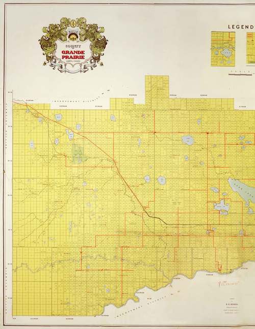
As 2015 winds to a close that means the ‘Year of the Map’ does as well. To finish off the year in celebration of maps we have uploaded a wonderful 1955 map of the County of Grande Prairie to our Flickr account. This map contains landowners names, schools and land locations.
Once the school location is found you can check to see if we at the archives house the records for it. School records can vary what they contain but some contain information about individuals and letters written by families for various reasons.
To be able to zoom in on the map go to Flickr where we have uploaded a larger file.